To start the slideshow, hover over the image below. Once you do that, arrows will appear so that you can navigate between the images at your own pace. Enjoy!
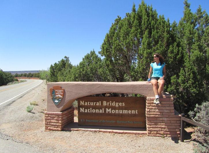
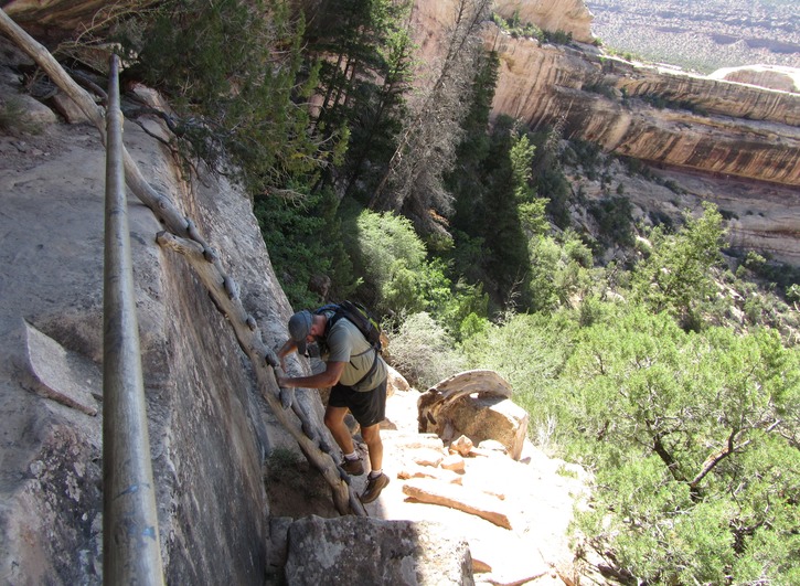
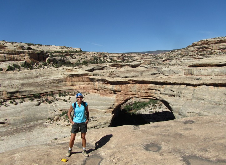
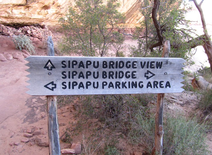
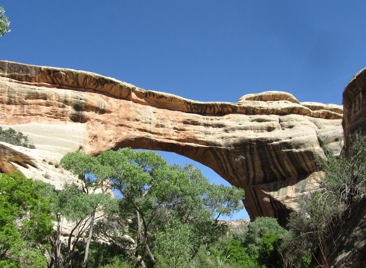
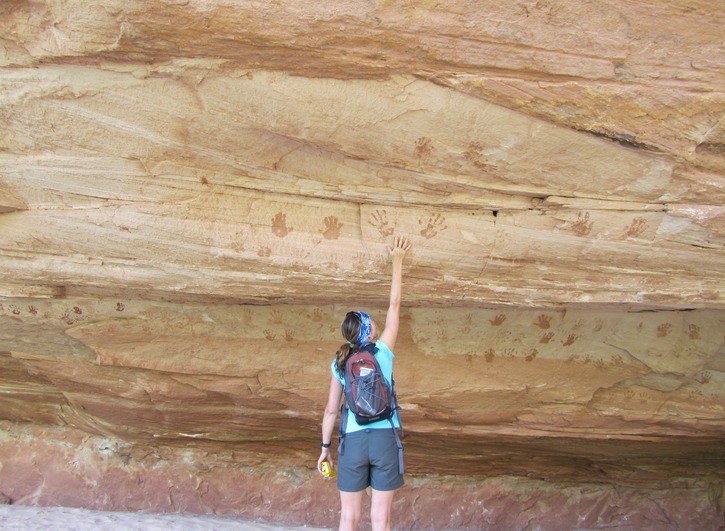
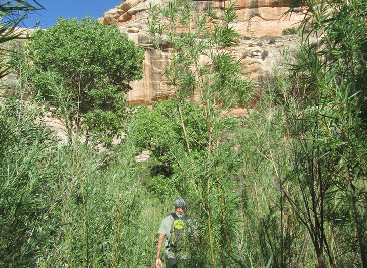
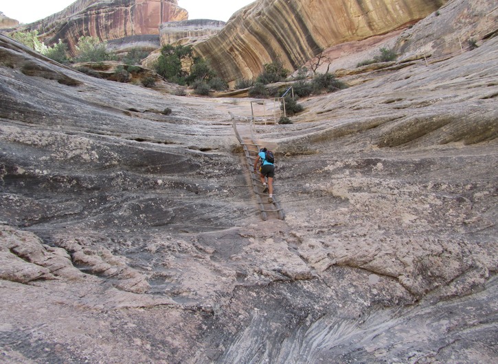
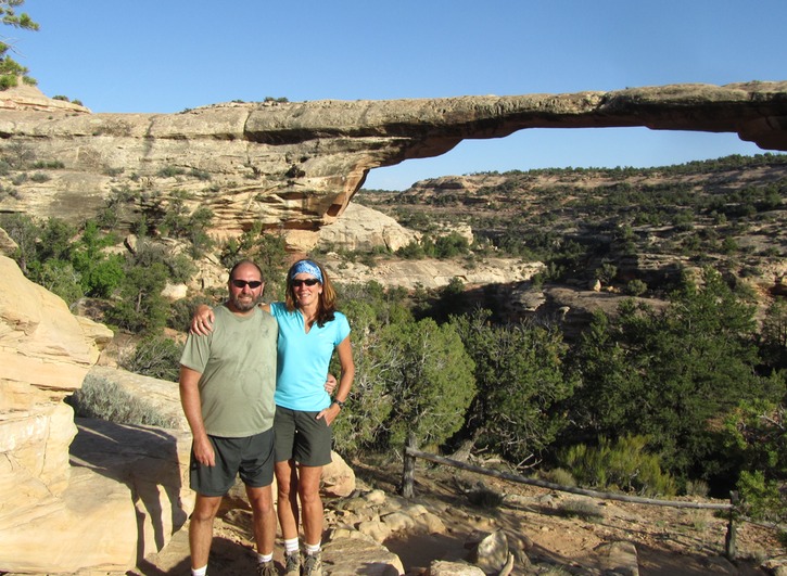
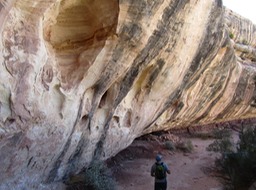
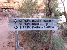
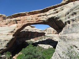
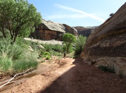
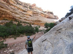
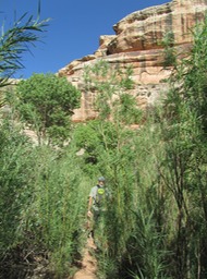
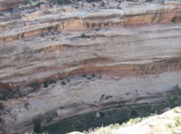
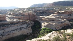
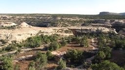
A lesser known attraction but well worth the visit. Didn’t end up with enough time to hike the entire loop to see all 3 bridges from below but still managed to get in a few good hours of hiking and exploring. Check out the BLOG!

Declared a National Monument in 1908, Utah’s first. Bridges are named in honour of the native Americans that once made this area home.

You can also drive a 9 mile loop to stop and see all three bridges from view points but we preferred to hike to the bottom, time permitting. Here we’re climbing down the trail to the Sipapu Bridge.

That’s the Sipapu Bridge from one of the upper viewpoints. We’re hiking down to the river bed to see it from that angle.

Much more impressive from the bottom looking up. Sipapu means “the place of emergence,” an entryway by which the Hopi indians believe their ancestors came into this world.

Hiking along the dry river bed, we’re hoping we can see some of the Indian cliff dwelling ruins from here.

Stumbled on these pictographs of many, many hands in a cave along the bottom. My guide book says this could represent an important family or an inter-clan marriage.

Dave’s pointing to where it is…just shows you the perspective. We were able to see the entire ruins from the overlook later on in the park.
